Memorandum of Agreement signed between CGWB and CSIR-NGRI for High-Resolution Aquifer Mapping & Management in Arid Region of North-Western India

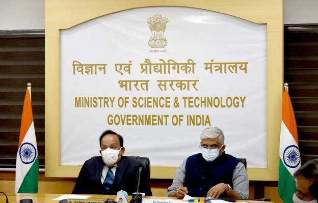
A Memorandum of Agreement (MoA) was signed todaybetween Central Ground Water Board (CGWB), Ministry of Jal Shakti and CSIR-NGRI, Hyderabad for use of advanced heliborne geophysical survey and other scientific studies in parts of the States of Rajasthan, Gujarat and Haryana under the Aquifer Mapping Programme. The MoA was signed by Chairman, CGWB and Director, CSIR-NGRI in the august presence of the Union Minister of Jal Shakti, Shri Gajendra Singh Sekhawat, and Union Minister of Science and Technology,Health and Family Welfare and Earth Sciences, Dr. Harshvardhan in New Delhi.
Under phase- I of the project, an area of nearly 1 lakh sq km spreading over nearly 65,500 sq km of western arid Rajasthan (covering parts of Bikaner, Churu, Ganaga Nagar, Jalor, Pali, Jaisalmer, Jodhpur and Sikar districts), 32,000 Sq. Km arid parts of Gujarat (covering Rajkot, Jamnagar, Morbi, Surendranagar and Devbhumi Dwarka districts) and nearly 2500 sq km of Haryana (covering Kurukshetra and Yamuna Nagar districts) would be covered at an estimated cost of 54 Crores.
The major objectives of the study include High resolution aquifer mapping using heliborne geophysical studies, including identification ofSites for artificial recharge,3D Geophysical model, Geophysical Thematic maps at horizontal and vertical plains, Aquifer Geometry of principal aquifer with demarcation of de-saturated and saturated aquifers,Aquifer system with relatively fresh and saline zones; Spatial and depth wise distribution of paleochannel network if any and its linkage with aquifer system; Selecting suitable sites for groundwater withdrawal and water conservation through artificial or managed aquifer recharge.
This is the first time Ministry of Jal Shakti has decided to use the state of the art technology for identification of aquifers in such a large arid/semi-arid area of the country. The study is likely to generate groundwater data in very short time period and will help CGWB in expeditiously finalizing the groundwater management plan in above mentioned water stressed areas. The findings of the study would help in formulating site specific plans for improving ground water levels in the water stressed areas and charter the road map for sustainable management of ground water resources.
